Overseas ATC
The Differences between US and Overseas Air Traffic Control
 |
| Combat King Air after an 8 hour flight from the Aleutian Islands to Misawa AB, Japan |
In this week's blog I'll discuss some of the differences pilots can encounter between domestic United States flying and trips to other parts of the world, specifically based on my experience flying across the Pacific, in Mexico, Quebec, and the Middle East. While English is the international language of air traffic control, for many controllers outside the US it's a second language and likely to not be the only language heard. In Montreal for instance, it's common to hear a controller rapidly switching between French to one airplane and English to the next. I'll dive a bit deeper into what makes international flying a unique and interesting challenge.
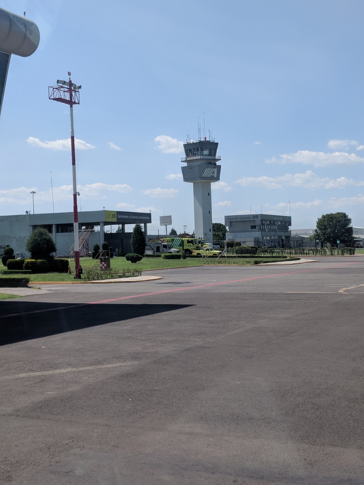 |
| Puebla's Air Traffic Control Tower |
In the United States we're very spoiled with GPS approaches and nearly constant radar coverage. Gone are the days of NDB navigation (at Envoy Air, we aren't even authorized to fly NDB approaches) and "Radar Service Terminated" in the majority of the country. This can be eye opening to new airline pilots, trained from private pilots in glass cockpits with GPS and ATC supervision. Both Envoy Air and American Airlines operate throughout the Caribbean and Mexico, where radar coverage is non-existent, and while GPS is becoming more available, NDB's are still commonplace. In Mexico, approaches are done with old fashioned VOR navigation (and yes, NDBs!) and old-school position reporting to separate traffic to places like Puebla, south of Mexico City and surrounded by high terrain (Gobierno de Mexico, n,d). Position Reporting is also commonplace flying across the Pacific. Over vast areas of ocean, radar coverage is seldom available, and vast distances require the use of HF radio for position reports. While higher altitudes offer organized "tracks" for jet traffic, these routes begin above 28,000 (FAA, n.d.), and so are not an option for the aircraft that don't go that high, such as ferrying a King Air 200. For our trek, we relied on position reports often relayed to Oceanic controllers through higher flying cargo flights.
 |
| Nothing but blue in every direction for more than 200 miles, about an hour and a half into an 8 hour crossing |
 |
| Citation Ultra over Qatar |
In international flying, you also find that the standards for navigational charts very greatly. Japan's nationally produced charts are extremely professional and similar to an FAA chart, whereas until very recently charts from Columbia or the Middle East often times looked like they were drawn by hand. In Vietnam, Russia, and others, altitudes on charts are depicted in meters, which is always fun to convert. Much of the world also uses millibars for altimeter settings instead of the inches of mercury familiar to United States pilots. However, despite the difficulties associated with flying overseas, I've come to embrace the differences. Good pilots should always be learning, and studying the differences associated can be very rewarding. Except Saudi Arabia. I don't recommend Saudi Arabia.
 |
| FBO at Riyadh. Yes, that's a Breitling clock on the Control Tower |
References
Federal Aviation Administration (2016) Pilot's Handbook of Aeronautical Knowledge. Retrieved from: https://www.faa.gov/regulations_policies/handbooks_manuals/aviation/phak/media/17_phak_ch15.pdf
Federal Aviation Administration (n.d.) Pacific Organized Flight Planning Guidance. Retrieved from: https://www.faa.gov/about/office_org/headquarters_offices/ato/service_units/air_traffic_services/artcc/oakland/kzak/media/Pacific_Organized_Track_System_(PACOTS)_KZAK_Flight_Planning_Guidelines.pdf
Flight Courses (2017, October 15th) 1.01 Airlaw. Part 06 -Airspace Classification. Youtube. Retrieved from: https://www.youtube.com/watch?v=bNWBsRIZO60
Gobierno de Mexico (n.d.) Air Traffic Control Services. Retrieved from: https://www.gob.mx/seneam/acciones-y-programas/air-traffic-control-services
Word Count 683


Wow. This was a fantastic read, you really shed some light on the way things are handled all around the world. I can imagine the Japan would be very structured in their charts and everything else they do for that matter. I also was under the assumption that GPS approach was widely used, all over the world, and English was not. Turns out, we sure are spoiled! Just not with Breitling towers... Random question but tell me this, are Breitlings used by pilots all around? It has always been my favorite. Sorry, I digress. As far as comms goes, the delays caused by multiple aviation bodies seems like a waste of time. Good thing I have no reason to travel in and out of there. Does it seem like this will change anytime soon? If so, you would think it would just be less of a headache for them.
ReplyDeleteHey Larry, to answer the first question, a Breitling is my goal haha. Right now, I have a citizen eco-drive I've worn since I got to Army flight training, and then a pair of watches from Avian Watches, which is founded by a retired Army Aviator. It's amazing how important our watches and sunglasses are to us.
DeleteIn some parts of the world, things are definitely getting better. I worked for a while at Jeppesen coding approach data for FMS's, and so I saw the data we got from different countries. Columbia is one example that stuck in my mind of how behind the times their data was, and the reason so many airlines used Jeppesen charts. In other ways, I doubt it. Politics is always a factor, and with COVID, countries have seen how easy it can be to just say "Sorry...we're closed." I will say, things are much simpler flying the airlines compared to military... or at least the airlines it's someone elses problem!
Cheers, thanks for reading!
Eric